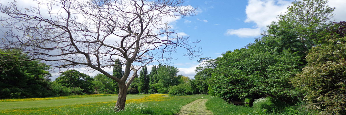
The fields along the River Pinn are almost all that remains of the enclosed meadows that once forms part of the demense (home farm) of the historic manor (estate) of Ruislip, and lay within a park mentioned in the Doomsday book – incidentally the earliest known record of Ruislip’s existence.
The lands had been held by Willard Wit, a thegn (retainer) of the Anglo-Saxon King Edward the Confessor, but after the Norman invasion in 1066, it passed to Ernulf de Hesdin, a follower of the new King William.
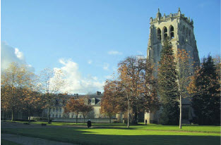
In 1087 de Hesdin gave the land to the Benedictine Abbey of Bec in Normandy, one of the earliest donations of churches, tithes and manors to be made by William’s supporters and successes to this influential institution during the century following the Conquest.

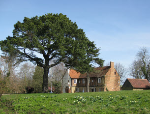
A Priory was established where Manor Farm House stands today and by the mid-13th century, this was the administrative centre for the Abbey’s extensive land holdings throughout England. However, during the Hundred Years War – a series of conflicts with France from 1337 to 1453 – the Abbey’s English lands were gradually confiscated by the Crown.
Ruislip became an Alien Priory and in 1405 was granted jointly to William de St Vaast, the Prior, to John third son of Henry IV who was later Duke of Bedford and Thomas Langley, Bishop of Durham.
The Duke alone held Ruislip for some years until, on his death in 1436, the Manor reverted to the Crown and in 1451 was granted by King Edward VI as an endowment to his newly established King’s College, Cambridge.
Although early maps show the park referred to in the Domesday book as a wooded area extending south to the boundary along what is now Eastcote Road, medieval parks would normally contain some grazing land, and it is likely that in Saxon times the area along the banks of the River Pinn would already have been meadows attached to the hall which stood on or near to the site of the present Manor Farm House.
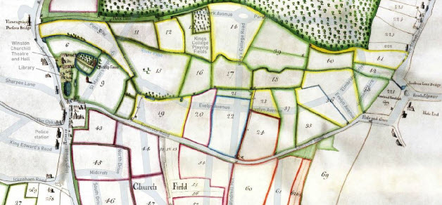
Two surveys commissioned by the college in 1565 (The Terrier) and in 1750 (Doherty’s Map and Terrier) preserve the traditional closure names of that part of the manor now referred to as Pinn Meadows.

East to west along the north side of the river pin there were Alder Moor, Batts Moor, Osier Moor and Sallowbed, The Grasing Moor, The Moors and Near Foresttreet (sic) Lane, while along the south bank were Flag Moor, First Horse Croft, Second Horse Croft, Third Horse Croft and Great Reeves Meadow. Some are still marked by the remains of ancient field boundaries.
Low-lying and subject to flooding, the land was used as pasture for grazing animals and fodder during almost all of its history.
By 1938 when King’s College transferred the fields to the then Ruislip-Northwood Urban District Council as Public Open Space, it was just in time to prevent them being further encroached upon by residential developments.
Now in the care of the London Borough of Hillingdon, the remaining Pinn Meadows are greatly valued by people throughout the local area.

